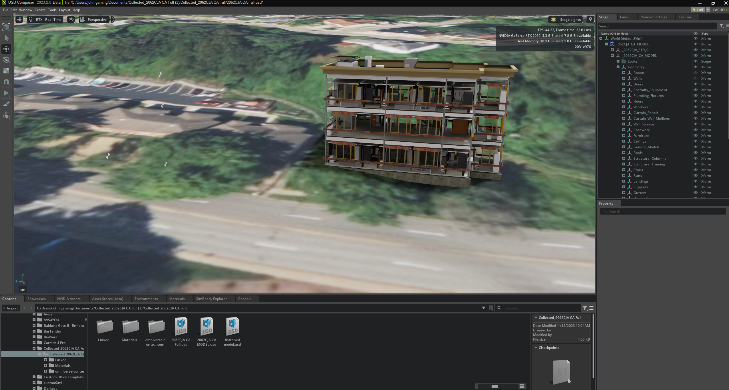
The first step in creating a digital twin is to have 3D CAD of the building that will be converted to a digital replica. For older buildings, CAD does not always exist. We have extensive experience in creating CAD at extremely low cost. Here are some of the techniques we use:
LIDAR scanning
To get an accurate CAD, LIDAR scanning is the most accurate method. Many 3rd party companies provide this service, and UrsaLeo will happily put you in touch with a local provider.
Photogrammetry
Another popular technique, this is a fancy way of saying ‘take a lot of photographs of the facility. These are then stitched together so the user can ‘hop’ from point to point in the resulting model and get a 360 degree view. Great for getting colors and textures – the accuracy is not as good as LIDAR and actually combining the two techniques gives the best results.
Use a 2D floorplan
Many older buildings only have 2D plans. If those are combined with photographs, a skilled CAD designer can produce a 3D CAD from them with a high level of accuracy.
In all of the above techniques, the goal is to generate a 3D CAD that can be used as a starting point for the twin. UrsaLeo is able to advise on creating CAD at very reasonable costs.
Don’t let the lack of 3D CAD stand in the way of creating digital twins.
This website uses cookies to improve your experience while you navigate through the website. Out of these cookies, the cookies that are categorized as necessary are stored on your browser as they are essential for the working of basic functionalities of the website. We also use third-party cookies that help us analyze and understand how you use this website. These cookies will be stored in your browser only with your consent. You also have the option to opt-out of these cookies. But opting out of some of these cookies may have an effect on your browsing experience.
Necessary cookies are absolutely essential for the website to function properly. This category only includes cookies that ensures basic functionalities and security features of the website. These cookies do not store any personal information.
Any cookies that may not be particularly necessary for the website to function and is used specifically to collect user personal data via analytics, ads, other embedded contents are termed as non-necessary cookies. It is mandatory to procure user consent prior to running these cookies on your website.